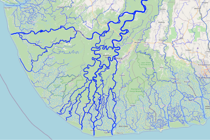
A team, led by Professor Louise Slater in the School of Geography and the Environment, has created the most complete map of the world’s rivers ever made offering a major leap forward for flood prediction, climate risk planning, and water resource management in a warming world. The new study, published in Water Resources Research, introduces GRIT—a mapping system that finally shows how rivers really flow, branch, and connect landscapes.


