Dr Sebastian Engelstaedter
Researcher
Researcher
Academic Profile
Sebastian Engelstaedter is a geologist by training and holds a Diplom (equivalent to a Master’s degree) from Friedrich-Schiller University Jena, Germany. After an initial position with Eurofins Agraranalytik in Jena, he pursued a DPhil at the University of Oxford’s School of Geography and the Environment (SoGE), where his research focused on the role of atmospheric processes in controlling the emission and transport of desert dust.
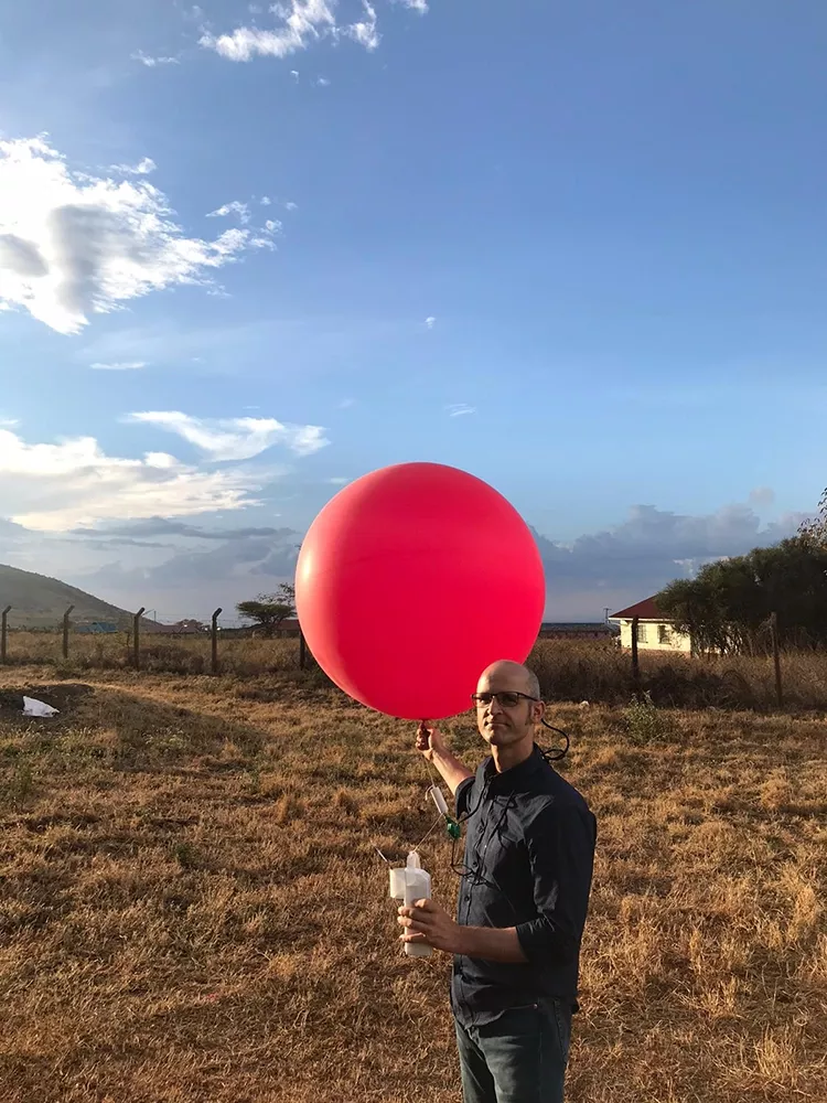
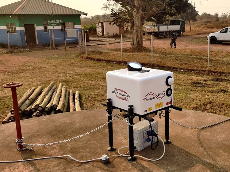
Sebastian manages climate computing services at SoGE, including curation of the department’s climate datasets on its computational research cluster, training and support in High Performance Computing (HPC), and guidance for researchers working with climate data. He also teaches courses on climate computing and data analysis. In addition, Sebastian supports climate field programmes, working with instruments such as automatic weather stations, radiosondes, sun photometers, and lidar.
Sebastian is a certified instructor for The Carpentries teaching foundational coding and data analysis skills based on the Software Carpentry curriculum.
Current Research
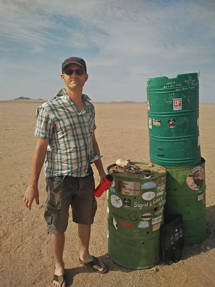
For over a decade, Sebastian’s research has centred on the interactions between the atmosphere and desert surfaces, with particular emphasis on the dust cycle - its emission, long-range transport, and deposition. His work integrates ground-based, airborne, and satellite observations with numerical modelling, spanning regional to global scales. More recently, his research has expanded to include the drivers of African rainfall variability, using both observations and modelling approaches.
Sebastian has contributed to a wide range of international projects, including DIRTMAP (Dust Indicators and Records of Terrestrial and Marine Palaeoenvironments), BoDEx (Bodélé Dust Experiment), AMMA (African Monsoon Multidisciplinary Analyses), Fennec (The Saharan Climate System), DO4Models (Dust Observations for Models), CLARIFY (Clouds and Aerosol Radiative Impacts and Forcing), IMPALA (Improving Model Processes for African Climate), DRY-CAB (Decreasing Rainfall to Year 2100 – Role of the Congo Air Boundary), RIFTJet (Radiosonde Investigation of the Turkana Jet), and MASIKA (Kiswahili for “long rains”).
Selected Publications